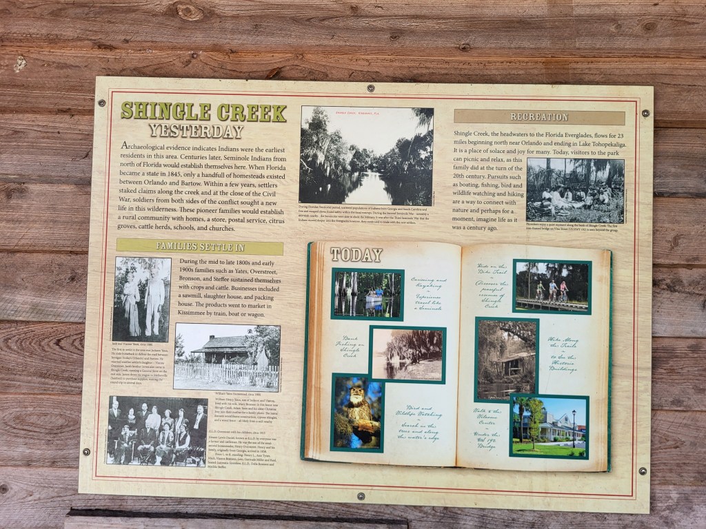
Part of my job with the Osceola County Historical Society (Osceola History) is to educate the public about some of the natural, wilderness areas in our County. We have quite a few! Here’s a map I put together of the specially preserved areas throughout the county. By the way, where I work and live is right next to Number 1 on the map.

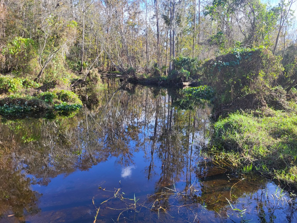
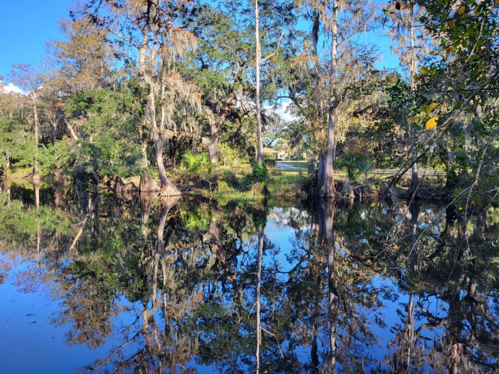
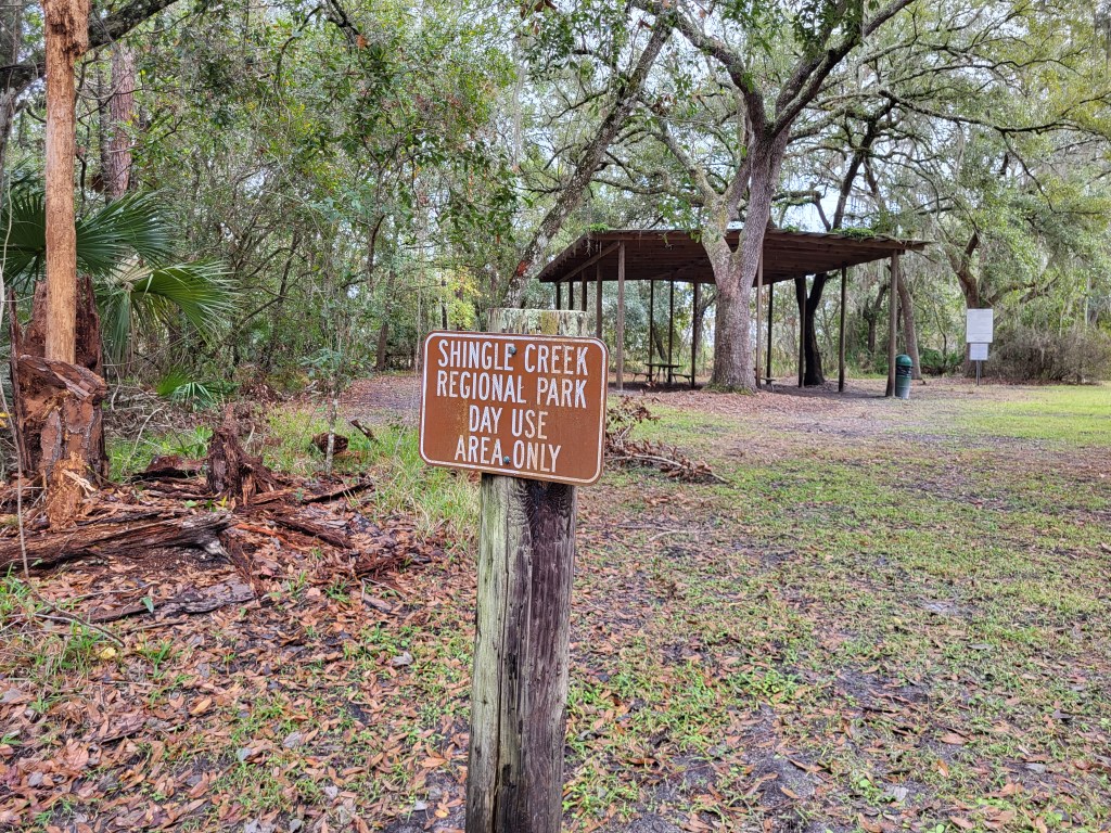
I’m going to describe some of these in a few of my upcoming blog posts. I’ll begin with Shingle Creek Regional Park (SCRP). This urban wilderness corridor in the heart of Kissimmee consists of about 1,000 acres, or 1.5 square miles of wilderness space surrounded by heavy urbanization. It is about 8 miles from the Park to Walt Disney World and about 8 miles the other direction to Universal.
From North to South, these are the various tracts or zones within the Park.
Babb Landing
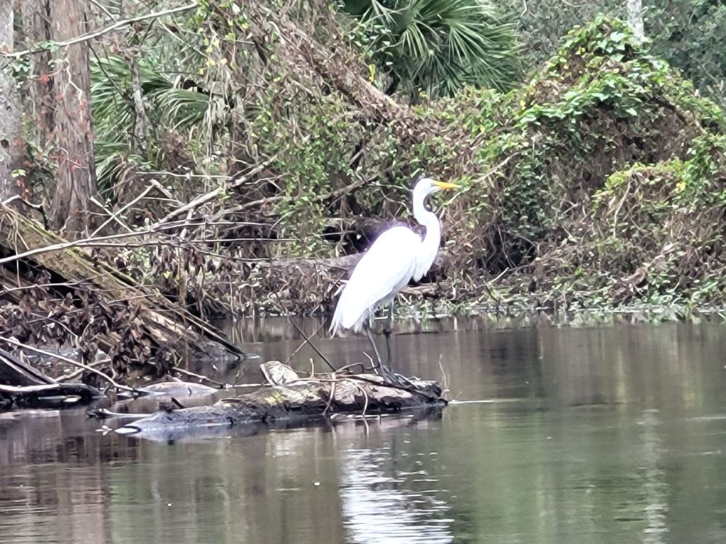
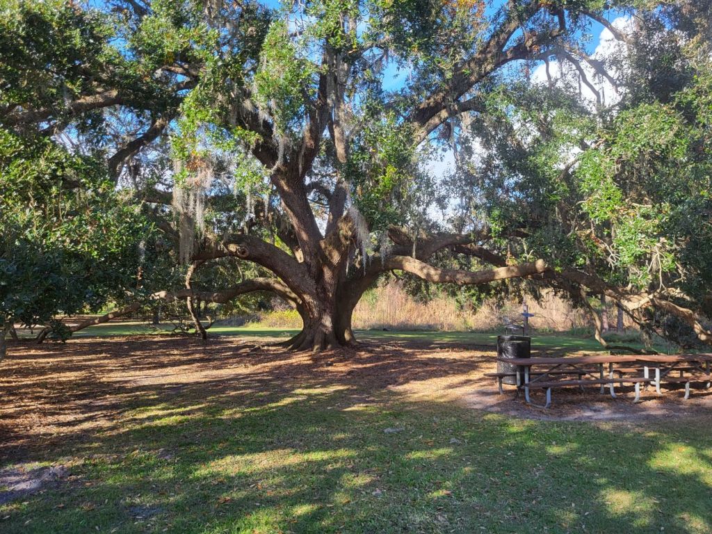
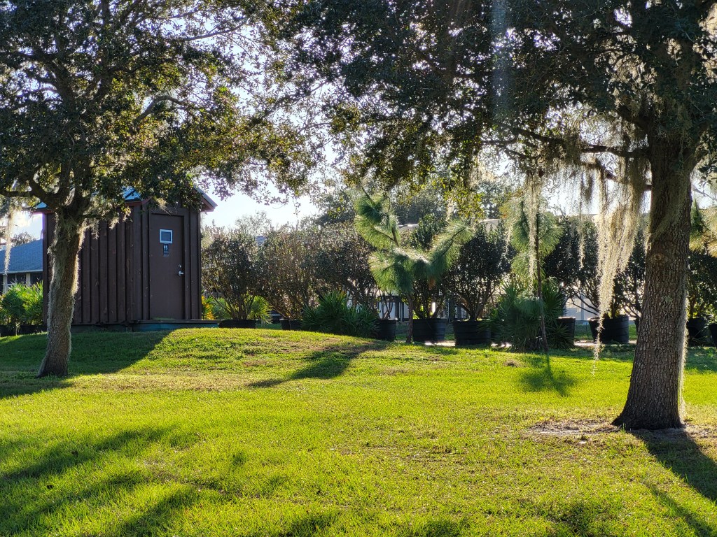
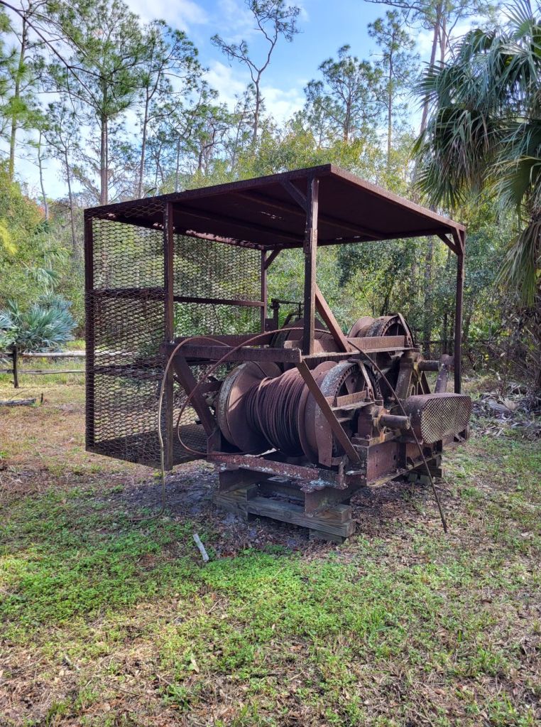
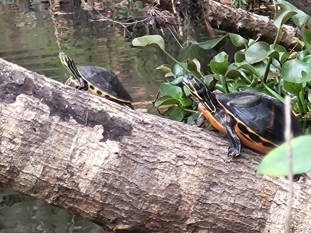
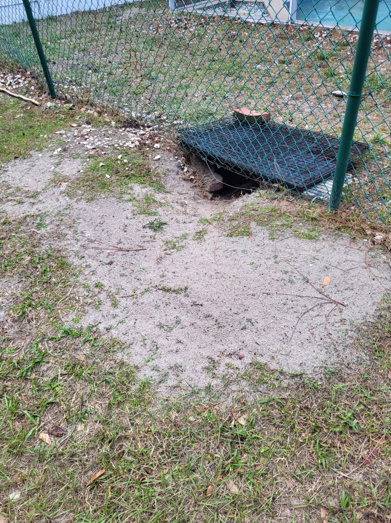
Babb Landing is the northernmost section of the park. It is named after Ellen and Grady Babb, who owned the land there ever since the early 20th century. They had a large orange orchard that was killed in the early 2000s by a disease and the property was purchased by the county to incorporate into SCRP. The road adjacent to this section of the park is still called Babb road. Pioneer Village (part of the facilities run by Osceola History) is located on the Babb property. There is also a restroom (pit), playground, and picnic shelter. Babb Landing refers to a canoe/kayak access point on Shingle Creek. You can paddle about two miles south from this point.


Yates Tract
Just south of Babb Landing is a section of property once owned by the Yates family. The Yates family were known for operating ford crossings of Shingle Creek and a sawmill. The tract is accessible by following the path south from Babb Landing, or from Yates road at the south end of the property. It is a single trail that winds parallel to Shingle Creek, but it does have one of the few restrooms (pit) in SCRP.

Ruba Property
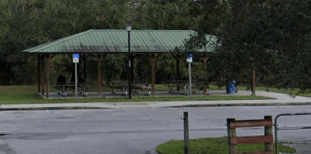
South a little further on Yates Road is a parking area and access to the small Ruba Property. The name comes from a modern land-holding group rather than any of the historical settlers in the area. The Rubab property has a short loop trail that leads to Shingle Creek. It also has a picnic shelter and a playground structure.


Steffee Landing
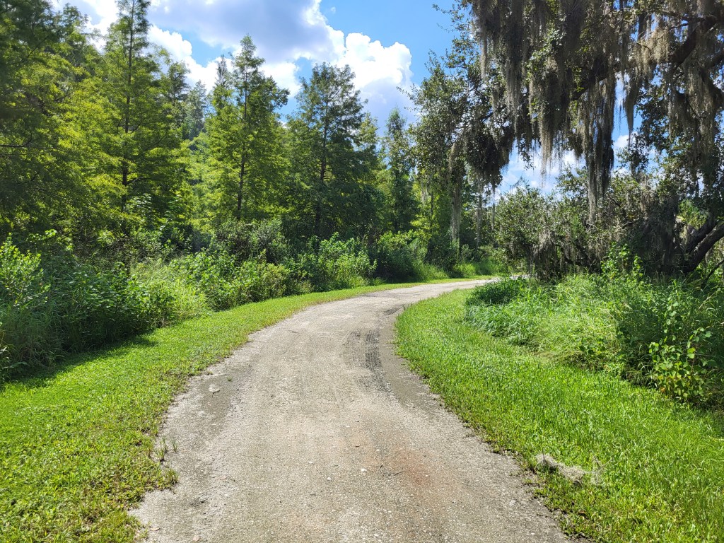
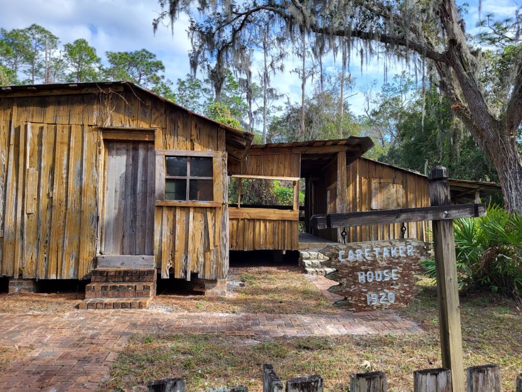
Continuing south across the major highway 192 (Vine St. / Irlo Bronson Memorial Highway) is another Shingle Creek canoe/kayak access point. There used to be a kayak rental facility here. Steffee Landing is located right across the highway from the Welcome Center & History Museum (where my office is located). There is a nice bike trail from here north to Pioneer Village, or south connecting to various street routes all the way to downtown Kissimmee. Additionally, there is an old cabin used by the Steffee family (discussed below) and a footbridge across Shingle Creek.
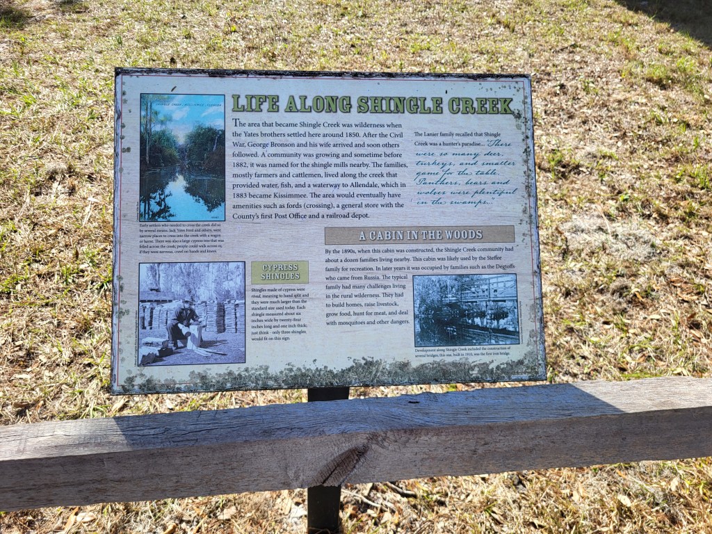
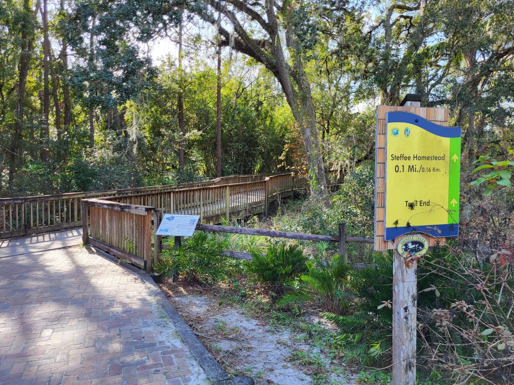
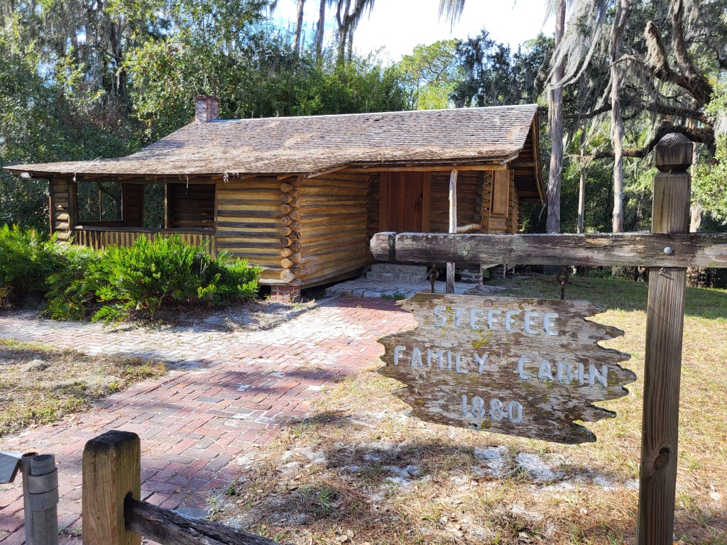
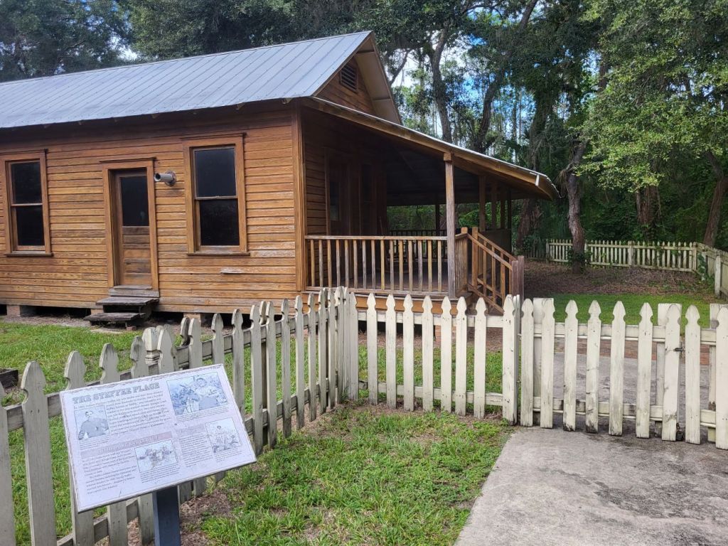
Steffee Homestead
The Steffee’s were a pioneer family living along Shingle Creek starting in the 1880s. Several of their buildings and tools can be seen at the homestead. Access to a parking lot is directly off of Highway 192 just west of Shingle Creek. There is a short loop trail through the homestead buildings area. There is also a nice trail and boardwalk through the forest south and southwest to Bass Road, coming out just across the street from the Osceola History Spence Research and Archives facility (not open to the public except by appointment).


Proctor Property
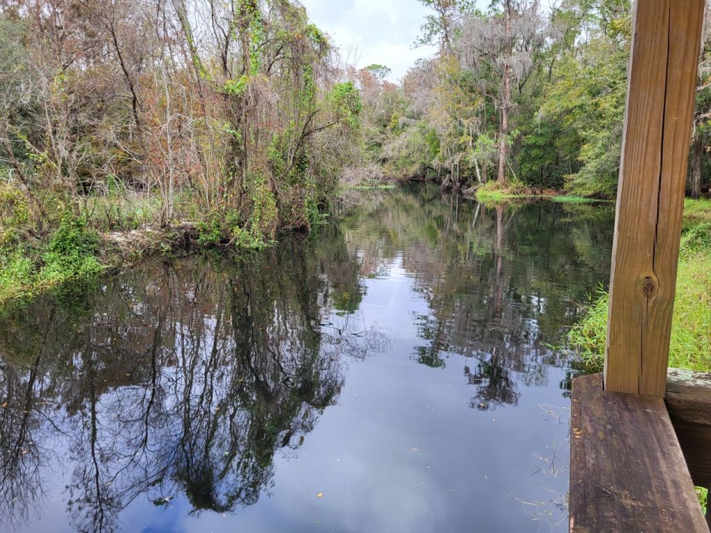
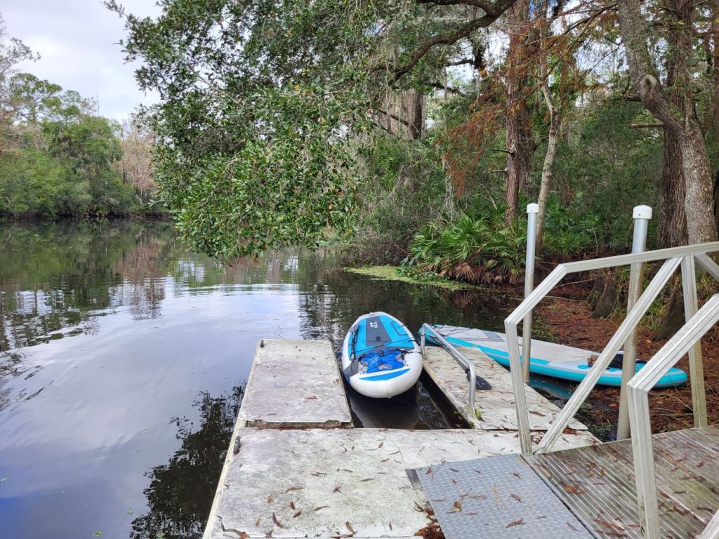
The Proctor Property is intended to only be accessed from Shingle Creek. It lies somewhat south of Steffee Landing. It can be accessed by foot, though, from the end of Buckley Road. There is a picnic shelter, observation deck, and canoe / kayak launch there.

Crichton Landing
Crichton Landing is another property intended to be accessed primarily from Shingle Creek, but there is a locked gated entrance off of Buckley Road. There is a picnic shelter and canoe dock at this site.


St Clair Property
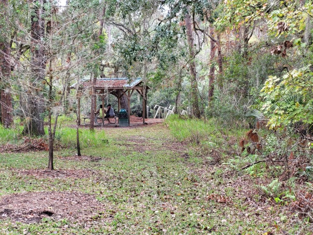
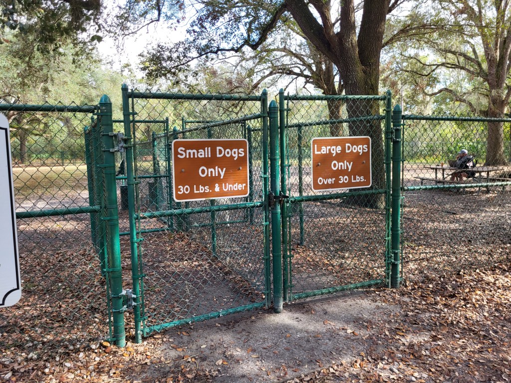
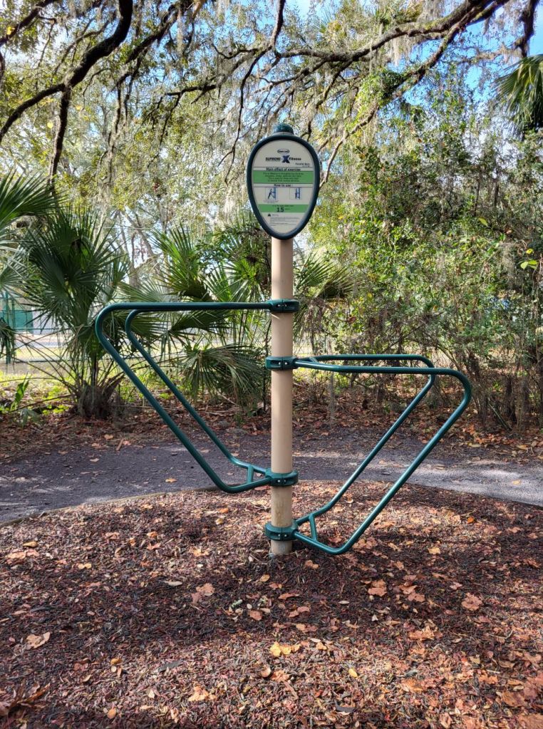
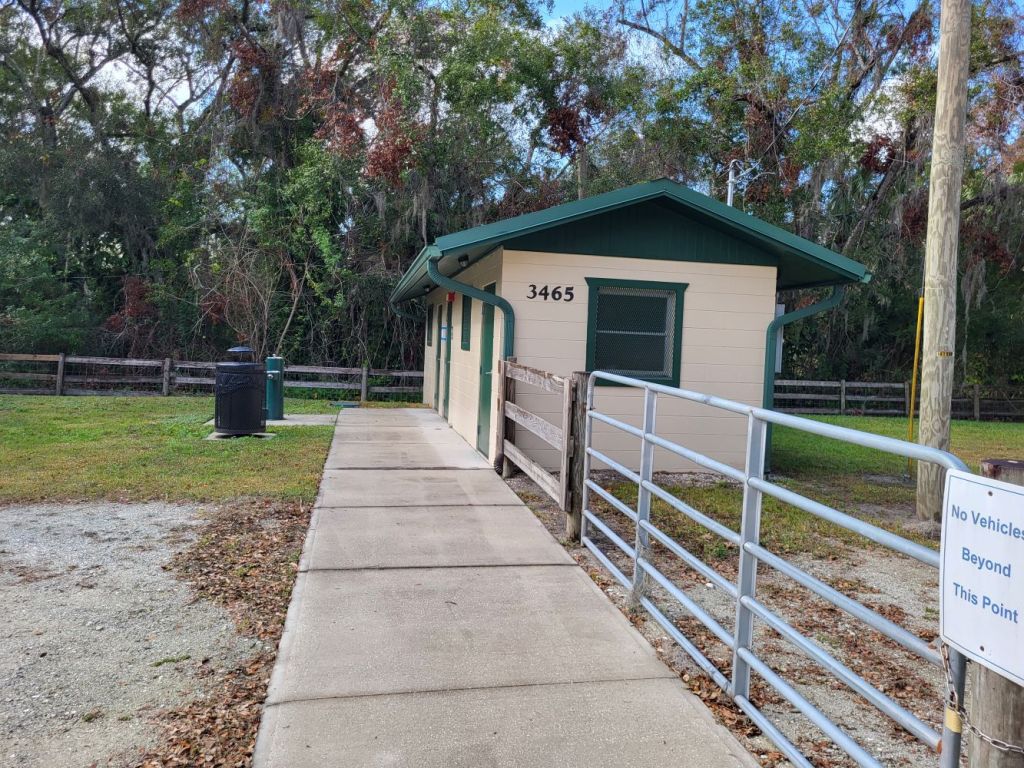
The St Clair property is not actually next to Shingle Creek, but still is part of the Regional Park. It is located near the end of Bass Road. You’ll find a parking area, picnic shelter, playground, restroom (pit), dog park, and exercise equipment along the walking path. You’ll also find another trail leading to a Gopher Tortoise Conservation Area.


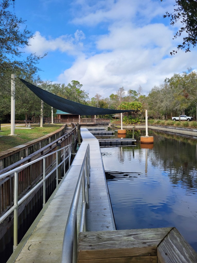
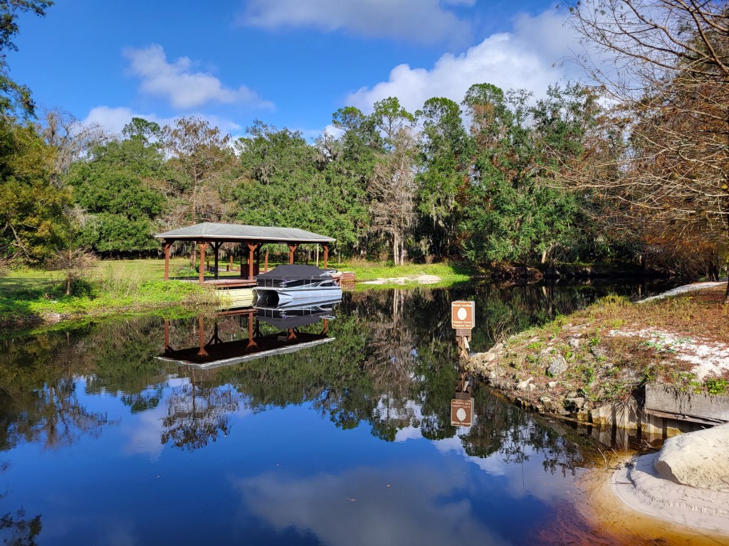
Marsh Landing
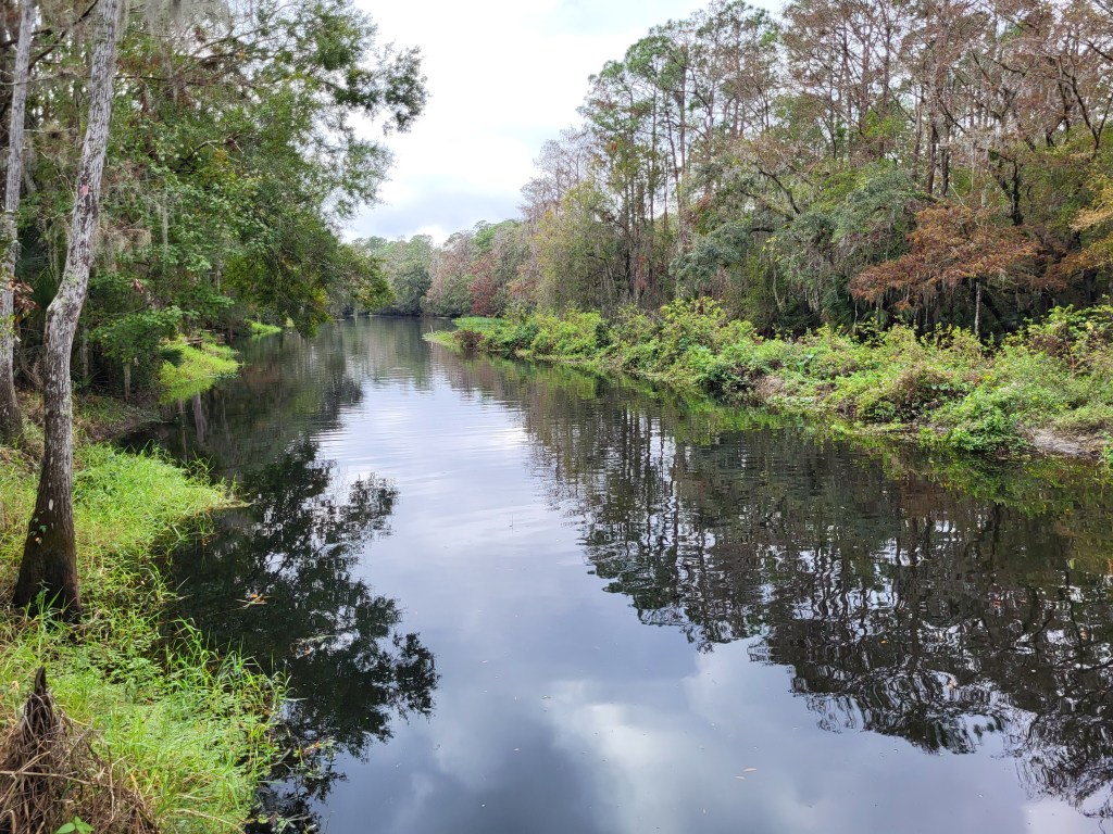
Once Shingle Creek turns east to flow toward its destination (Lake Tohopikaliga), it passes next to the last section of SCRP – Marsh Landing. Once a private community dock area, the site has nice canoe / kayak launch docks, picnic areas, restrooms (with running water!), and access to Shingle Creek that continues unimpeded all the way (as far as I know) to Lake Toho.


One thought on “Osceola County (FL) Wilderness Areas – Shingle Creek Regional Park”